
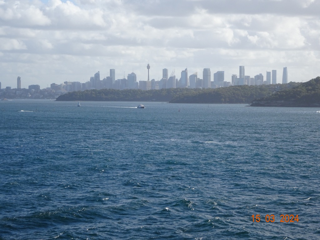
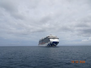
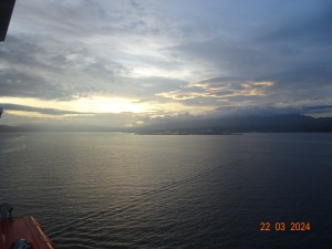
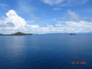
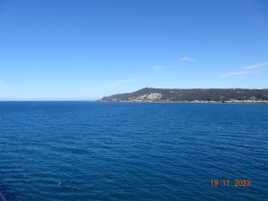
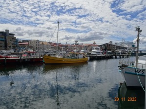
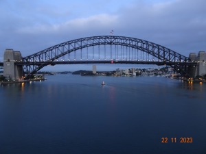
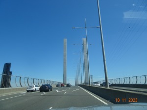
The view as we sailed from Sydney aboard Royal Princess in March of this year.
It was a four-day sail from Sydney to Noumea, the capital of New Caledonia, so St Patrick’s Day was celebrated at sea.
As we approached Noumea it was strange to see broken water so far off the coast. It was as if we were passing a reef or large sandbank.
A distant shot.
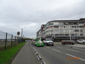
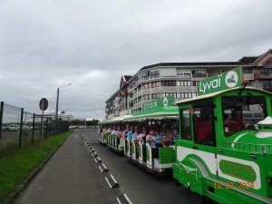
Maureen & I had been to Noumea a few times, so we decided to walk to the local market – partly for exercise and for Maureen to check the items for sale. We reached the market area, and it was all closed – we had arrived on a Monday. So we started back to the ship because it looked like it was about to rain. On the way back I took the photos of a Tchou Tchou train – Noumea is famous for these trains, there are several and each one is a different colour. I don’t know if the colour denotes the route or if they all do the same route.
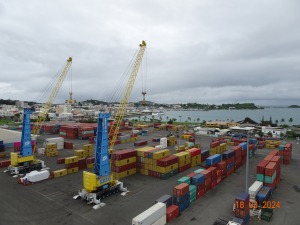
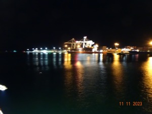
I took the above from our balcony, as you see we were in a working port because the cruise terminal was occupied by another cruise ship. The other vessel can be seen just under the second crane. Not long after we reboarded it started to rain.
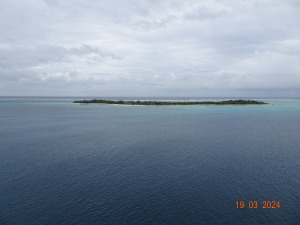
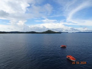
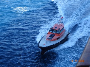
Our next stop was Mystery Island, which is a small island in the Vanuatu Group. To get ashore was a tender job.
The island had a grass strip airport, which is seven feet (2 mtrs) above sea-level. The airline services the island twice a week, because the island is uninhabited and is only populated when a cruise ship arrives. The correct name of the island is Inyeug. We walked around the island in just over thirty minutes.
Our cruise ship through the trees.
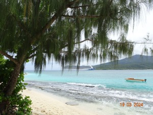
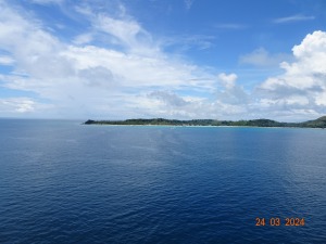
The weather looked like it was turning from a beautiful tropical paradise to a soaking rain day so we caught the next shuttle back to the ship.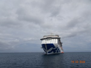
Just as we arrived at the ship it started to rain.
Within a few minutes after we boarded it became a tropical downpour. Long lines for the tender stretched along the shore and people were quickly soaked. The island did not have any shelter – only an occasional palm tree.
You can guess the conversation for the rest of the day.

Our next port was Port Vila the capital of Vanuatu – the above as we entered the harbour.

Small coasters & fishing boats as we moved slowly alongside the wharf.
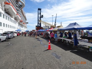
I have always liked Vanuatu and the capital having visited the area on business in the 1980’s. It hadn’t changed all that much -but as we went alongside the wharf, we realised just how heavy the rain had become. It was pouring down. We had planned a visit to a well-known duty-free shop in the town centre (about seven minutes from the ship by mini-bus.)
So, it was umbrella time and a ‘fast’ run to a minibus – ever tried running with an umbrella in heavy rain and avoid the puddles (small lakes in places). Cost to the duty-free shop $5, it has been $5 for years. Vanuatu is not a rich country but has some very good resorts and the people are very friendly, it is popular holiday place with the Australians & Kiwis.
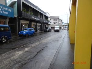
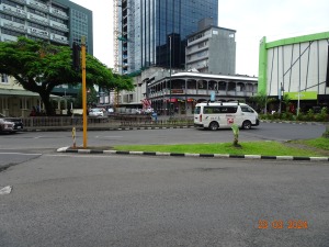
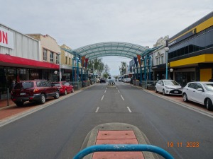
As you see in the picture below the roads are not as well cared for as most of the roads in Sydney.
I took this outside the duty free shop as we waited for our mini-bus to take us back to the ship.
I had bought two bottles of spirits, Bombay Sapphire 1.25 ltr for AUD $26 and a 1.25 ltr Scotch whisky for AUD $46 and both were delivered to the ship free of charge and they were well packed for carrying off the ship in Sydney- great customer service and a lot cheaper than the duty free shop on the ship.
Before Covid this duty free shop had a large range of goods for sale, and I wanted to buy an new electric razor and considered I’d wait until Port Vila. The choice was one single electric razor and the choice of other items was very limited, once the cruise ships and holiday makers had stopped due to Covid the economy had crashed.
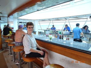
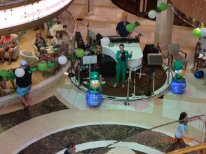
A day at sea as we sailed for Fiji, the weather was beautiful, the sea was calm, and the Seaview Bar was the place to be for a pre-lunch drink.
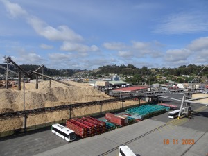
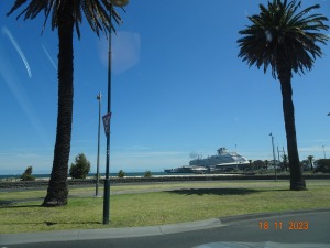
Sunrise as we approached Lautoka in Fiji – which is the main port for the export of sugar.
For me the only way to shop – the locals brought their shops to the ship, Maureen was happy, and I bought two shirts, both made in Fiji, I checked.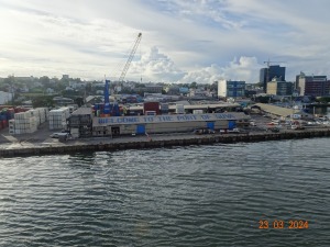 Next stop in Fiji was Suva the capita, designated as such in 1882.
The ship docked so close to the city centre which was about a five-minute walk into town.
We had visited the Suva area on previous trips so we just wandered around the town, until it got too hot and we were back on board quick sharp.
Once again stalls were set up along the wharf and Maureen bought a set of earrings – a lot easier than going from shop to shop and they were cheaper.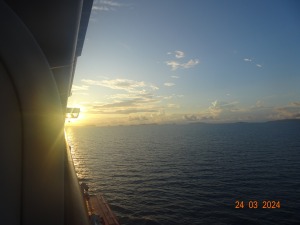 Next morning as we approached Dravuni Island.
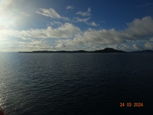 Another tender port – the island has about 150 people, including children and they have their own school.
I’ve posted about this island in other blogs so will not repeat myself, but see below for the link.
It was very peaceful sitting facing aft with the Outrigger Bar behind us. The ship moved gently at anchor as the scenery slid by.
Dravuni Island
If you are interested in earlier post about Fiji when it was called the Cannibal Is. check November 2021.
Other posts about about Suva December 2019
Mystery Island May 2023.
Port Vila – when it was dry – December 2019


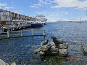 Seals in the harbour – statues


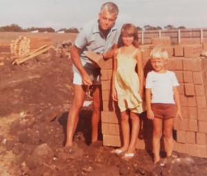 Sometime in 1981, I’m with our two children next to the bricks that would be used to build our home. At that time, we lived in rented accommodation about an hour’s drive from where we planned live.

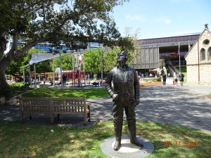 Air Vice Marshal


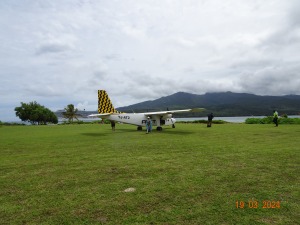
 The aircraft held a maximum of ten passengers and two pilots – the aircraft was busy all day, and landing was never dull for the plane spotters on the ship.


 Giant sponge
 I think this picture gives a better idea of how big the crocodile was when it was capture in 1979, but during the capturing procedure the crocodile drowned.


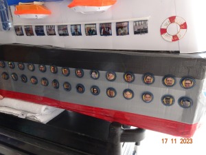
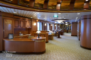
 is scanned. The Medallion system worked very well. I have explained how the system works in earlier post, but will be happy to go into detail if asked.


 I am writing this on the 16th December and a few days ago the island staff were evacuated due to tropical cyclone Jasper. Click below for the short film.


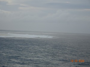
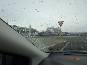
 The morning that we arrived I took the above photo – thick fog perhaps – but it was condensation on the lens of my camera as I stood on our balcony for less than thirty seconds.


